
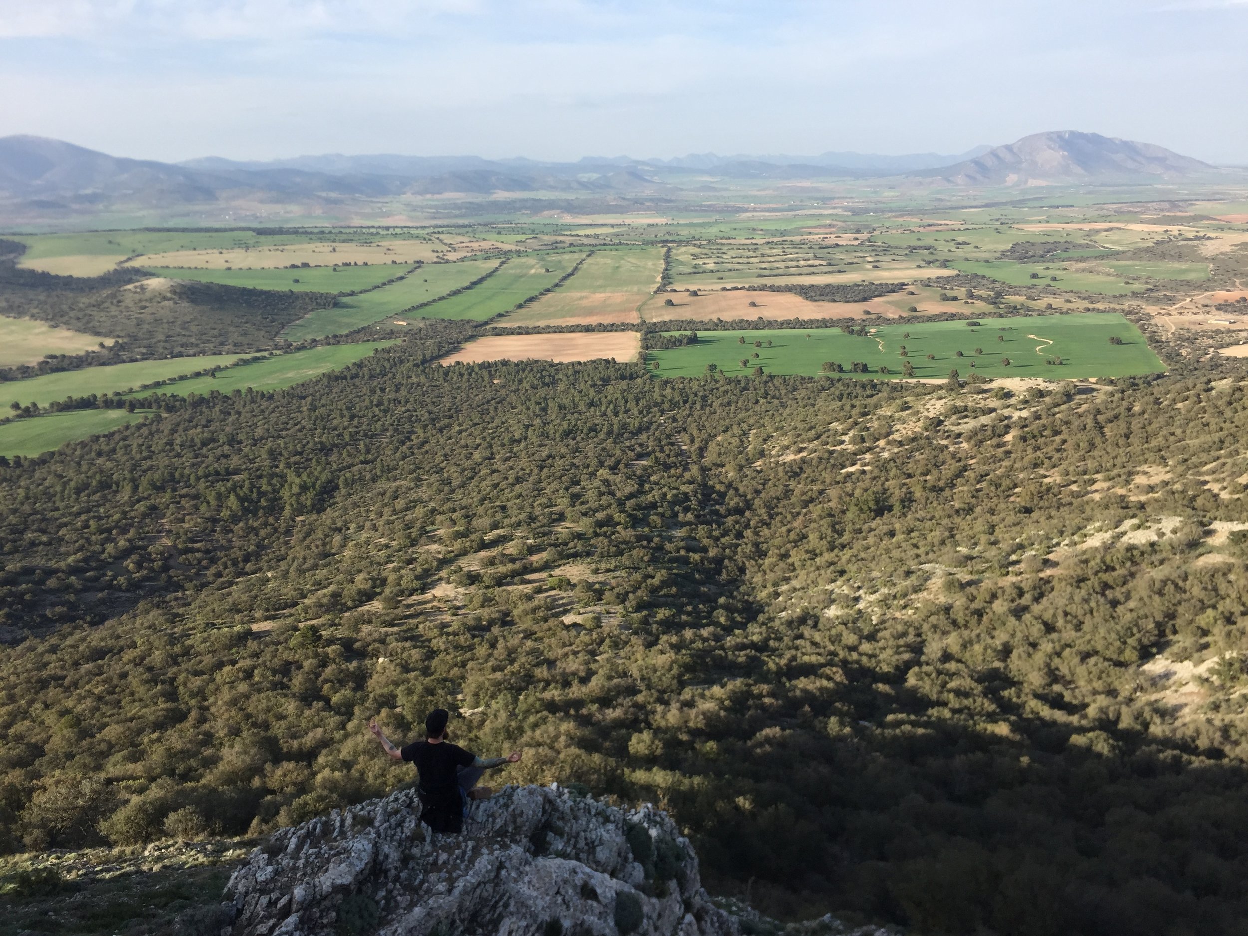
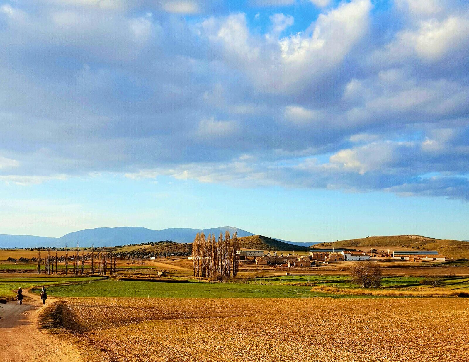
The landscape
Within Europe semi-dry and dry areas bear most of the challenges when it comes to environmental problems. Spain is one of the countries, besides Italy, Portugal and Greece, that has the highest desertification rates and water scarcity issues. According to the European Commission land degradation in the Mediterranean threatens food security as 30% of the semi-dry areas have been affected by desertification and already 8.3 million hectares of agricultural land has been lost.
Conventional farming practices are causing many problems in the region which is already one of the poorer regions in Europe. On a farm level this means soil erosion and decreasing fertility, decline of biodiversity, lack of water (both drinking and farm use). On community level this means rural abandonment because of lack of possibilities, greying, outmigration, and a lack of inspiration among young people.
The context of these problems is complex and solutions have to be of a holistic nature to capture all the different aspects of the challenges faced. Therefore we work with the 4 Returns framework of Commonland, taking into account the return of inspiration, return of natural capital, return of financial capital and return of social capital.
Location of La Junquera
The Regeneration Academy is located on the farm of La Junquera, province of Murcia, southern Spain.
about La Junquera Farm
La Junquera is an organic farm and village that is being transformed into a beacon of regenerative agriculture in Southern Spain according to the 4 returns principles of Commonland.
It consists of an approximate 1100 hectares of hilly land with an average elevation of 1100 meters. The region is characterised by a semi-arid climate and a low precipitation, mountainous terrain and a sparse population. The agriculture in the region consists mainly out of cultivation of cereals, rain-fed almonds, olives and the local ‘Segureño’ sheep breed.
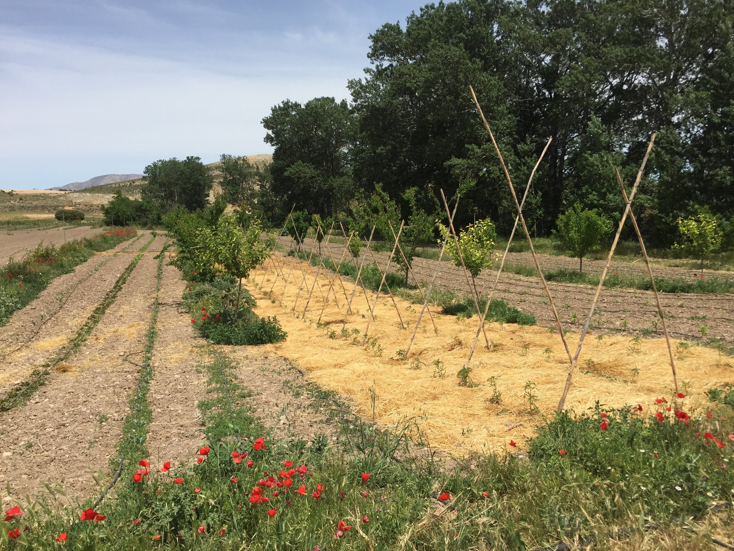
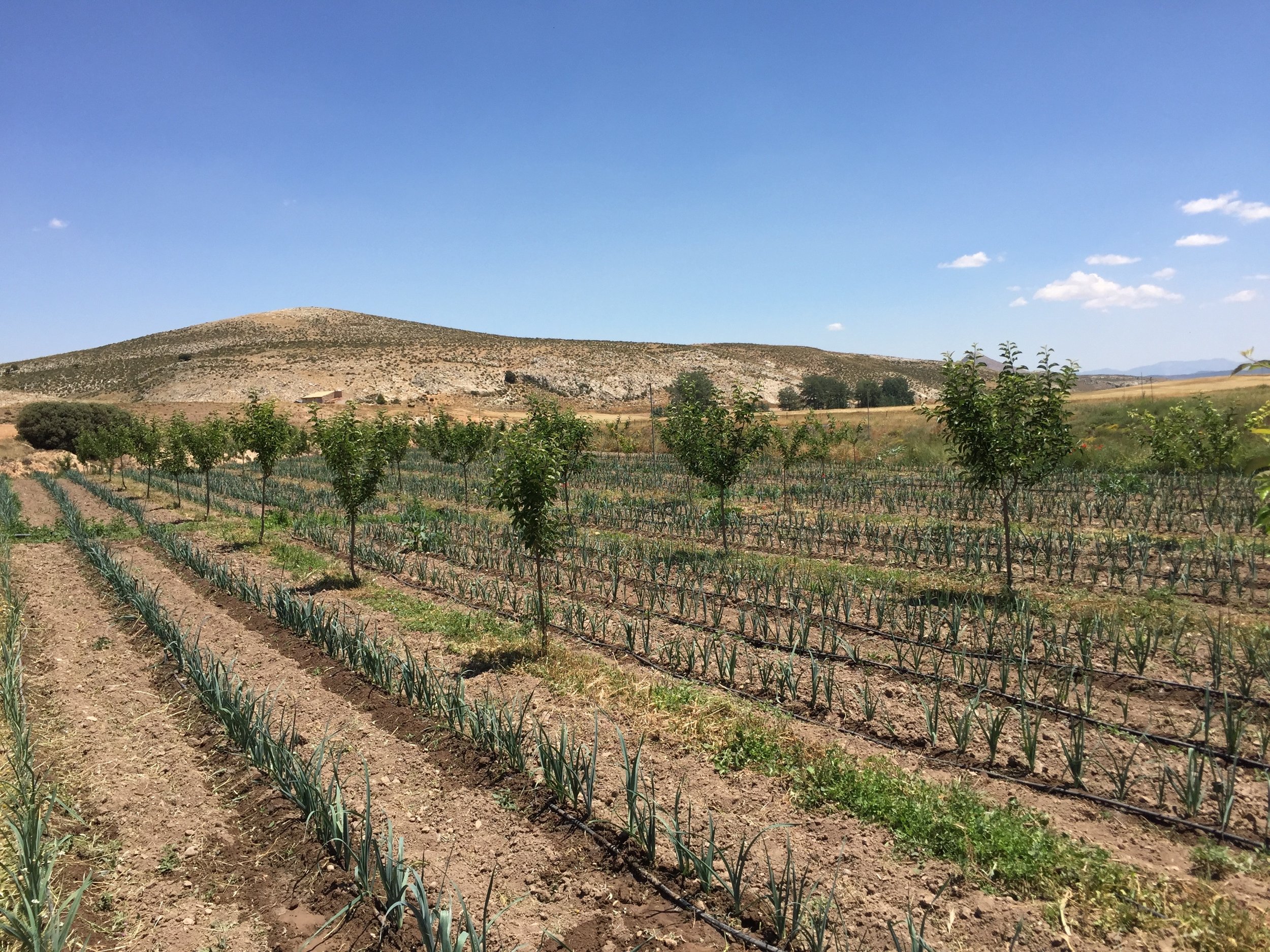
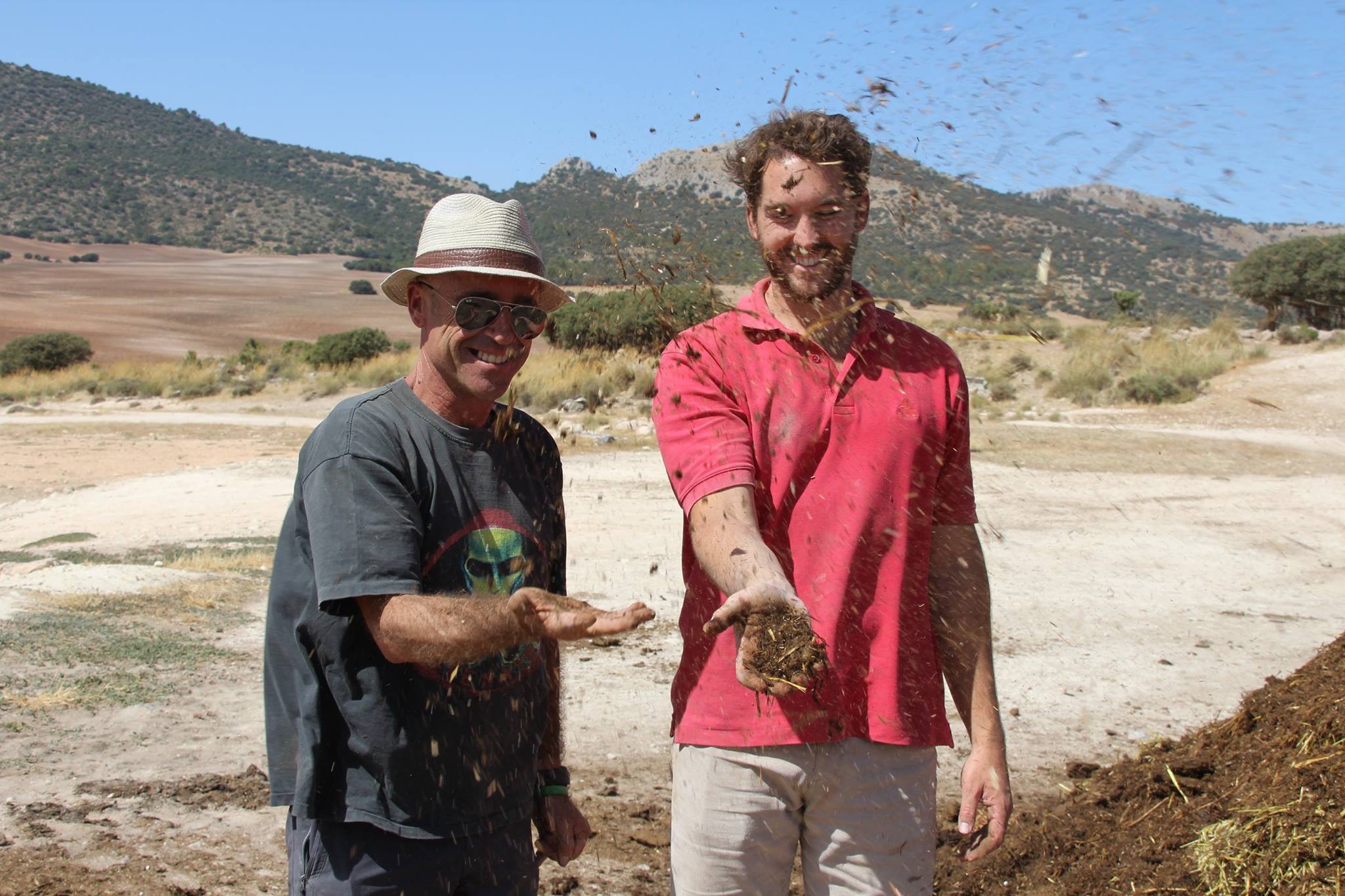
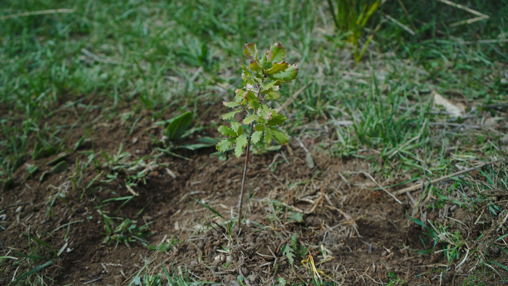
The main problems that are creating a dysfunctional ecosystem are related with erosion, rain water infiltration, and lack of organic matter and fertility in our soils. As a result we are focusing our efforts in building silt traps, swales, keyline plantations, limited tilling, and ponds. These practices not only help to reduce erosion, improve fertility and increase water infiltration but also increase dramatically biodiversity incredibly fast.
Current production & activities
Currently the main commercial crops are cereals (500ha), aromatics (50ha), and almonds (300ha). There are smaller productions of pistachio (6ha), walnuts, apples, cherries, grapevines, and vegetables. Everything is produced organically. Some of the land is rented out to shepherds. About 300 hectares consists of natural zones spread around on the farm. Most of these pieces are too steep or rocky to be cultivated. Some of the zones are relatively densely forested whereas others are bare and degraded.
The aim is to develop La Junquera into a regenerative farm by implementing regenerative practices, reviving the village and local community, generating economic activity, and restoring the degraded natural zones. Current activities or upcoming plans regarding this development include:
Crop diversification
Water and erosion management
Diversification of products and services
Ecological restoration
The farm of La Junquera and the Regeneration Academy coexist in symbioses: the farm facilitates land and infrastructure, while the Regeneration Academy helps the farm make better decisions on restoring landscape, biodiversity and sustainable profit.
Want to check out la Juquera’s landscape?
Click Here to navigate the geo location of the Fram and check out other regenerative farms in the territory.
explorer.land is a map-based online platform. It is designed for presenting forest landscape projects, communicating their activities, and connecting them to like-minded organizations and stakeholders from around the world.
Unlike other social media and similar platforms – where content is mainly presented through a timeline – explorer.land displays all published content (e.g. posts, photos, videos) in its geographical context, on top of interactive, high-resolution maps.